


Real-Time Earth Monitors
As you learn about current planetary events, we thought you might enjoy viewing the real-time imagery from around the world. Scientists have set up monitoring stations around the world that watch weather, volcanoes, earthquakes, and many other facets of the earth sciences.The Kapili scientists who build Geography4Kids do not maintain any of this equipment, but we do watch the world the same way you do. We do our best to keep this information current. But sometimes, the monitoring stations go down or have technical issues.

|
Mount St. Helens, Washington, U.S.A.
Mount St. Helens is located in southern Washington, about 100 miles south of Seattle and 50 miles north of Portland, Oregon. This live webcam image is from Johnston Ridge Observatory located five miles south of the volcano. |
|
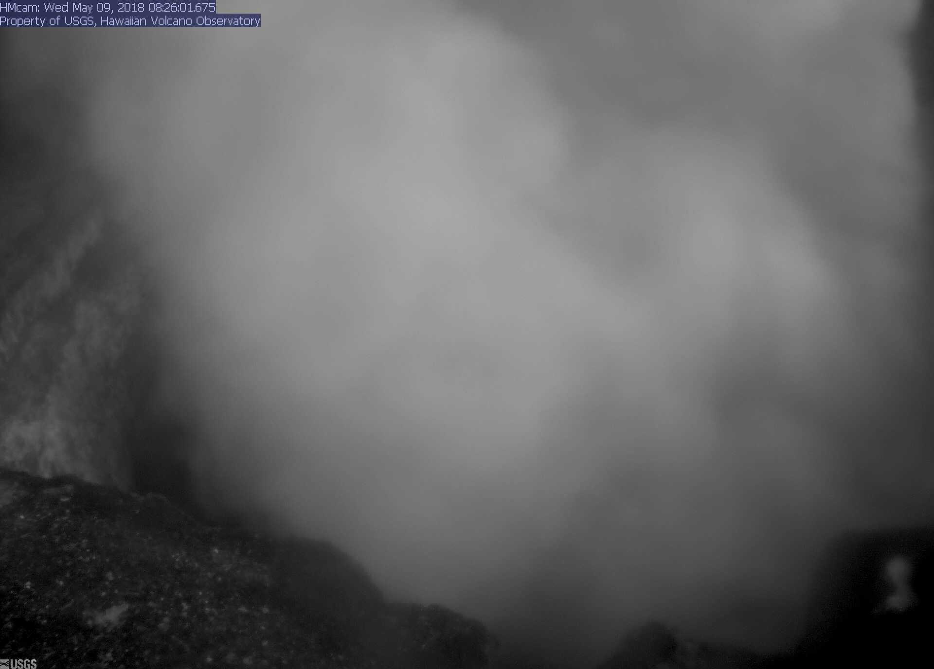
Kīlauea Volcano, Hawai'i, U.S.A.
This is one of several Live images from Hawai'i and the very active Kīlauea volcano observatory. The Pu`u `O`o is not accessible to the public due to significant volcanic hazards and dangerous situations. |

|
Earthquake Monitors, California, U.S.A.
California is one of the most tectonically active regions of the world. This live image displays the data recorded by hundreds of seismic detectors placed across the state. |
|
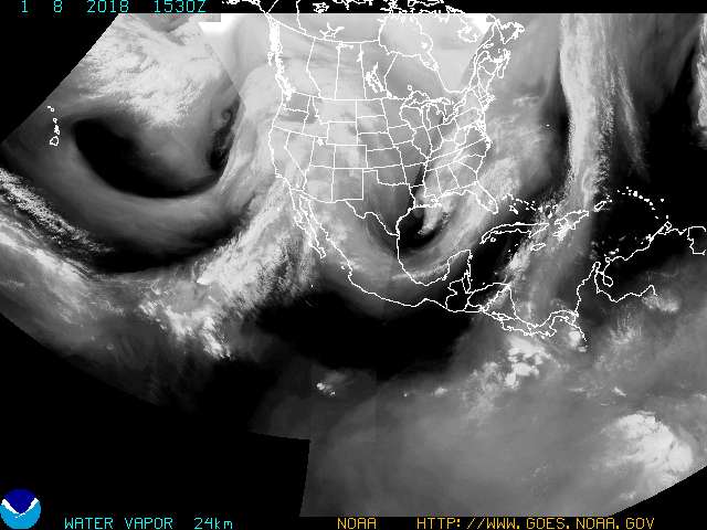
Water Vapor Patterns, North America
This image displays the water vapor channel data delivered from GOES satellites orbiting the Earth. The image is updated every three hours. |
|
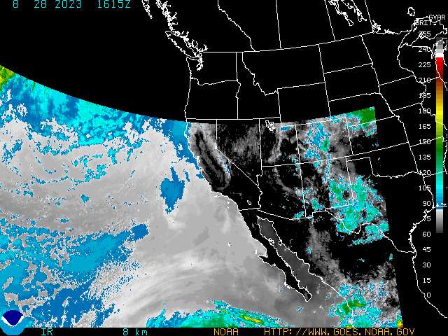
Cloud Patterns (in Infrared), Western North America
Meteorologists and scientists study the atmosphere in different wavelengths. There are several satellites that image the atmosphere and cloud cover by temperature. These temperature-based results are captured in the infrared wavelengths. |
|
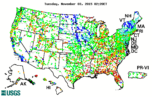
Real-time Compared to Historical Streamflow, United States
This graphic displays data from thousands of monitors across the United States. The monitors measure the amount of water in streams and rivers across the country and compares the levels to previously measured amounts. |
|
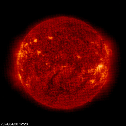
The Sun
What's this? The Sun? As you learn about life on Earth you will quickly understand that every moment of our lives is related to the Sun's energy. Take a look at this live image of the Sun provided by NASA. |

©copyright 1997-2015 Andrew Rader Studios, All rights reserved.
Current Page: Geography4Kids.com | Live Cameras and Real-time Earth Monitors